Compass
What is a Compass?
A compass is an instrument used for navigation and orientation that shows direction relative to the geographic cardinal directions. Usually, a diagram called a compass rose shows the directions North, South, East, and West on the compass face, as abbreviated initials.
EXPERIMENT FOR PSLAB COMPASS
Goal of the experiment
To determine the direction of a place using PSLab app.
Materials required
Android Phone
Procedure
Open PSLab Android app
 |
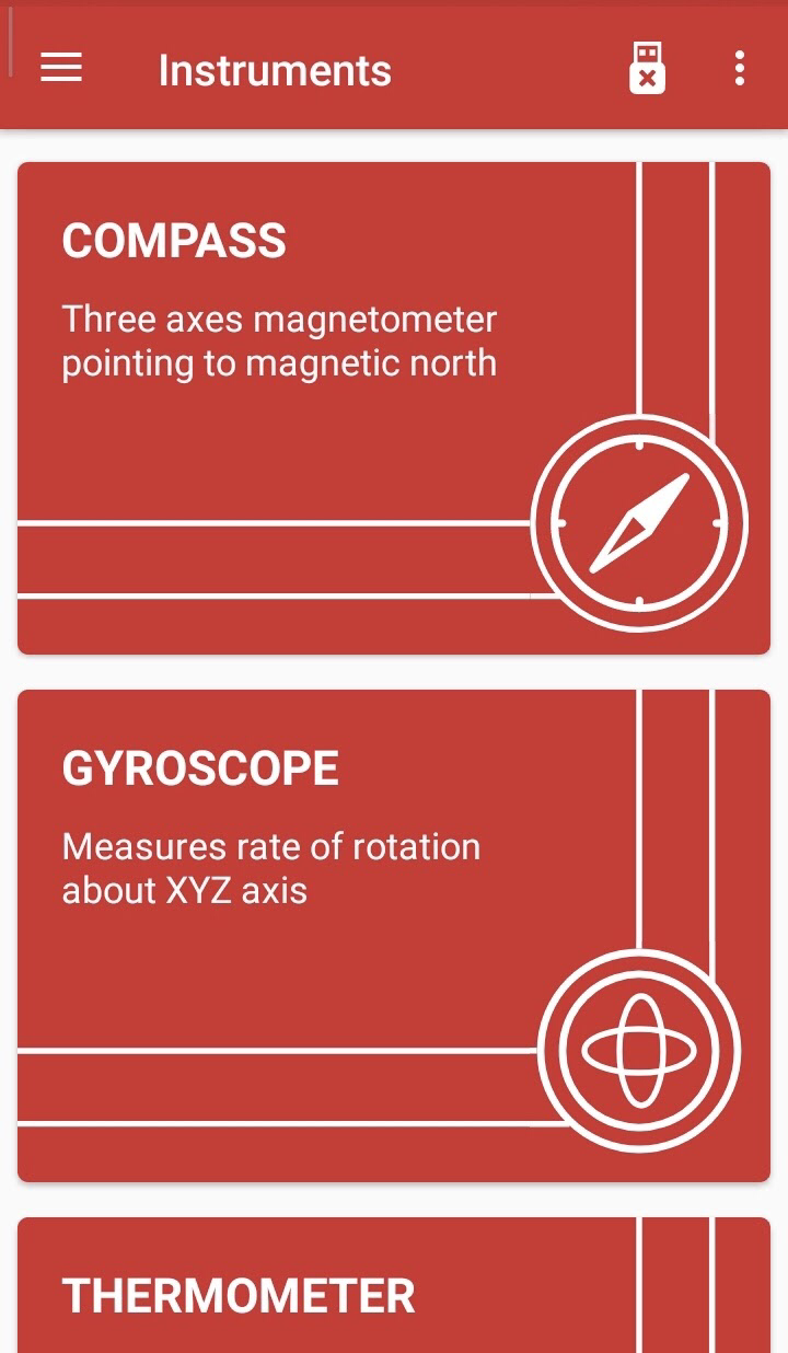 |
Select the compass option
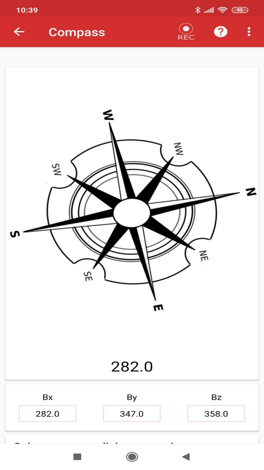
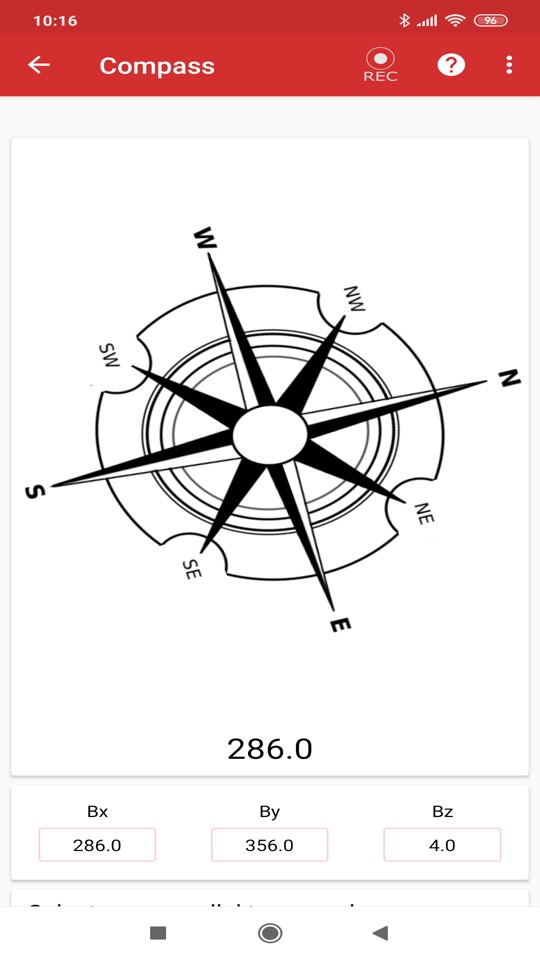
Once the compass opens, start rotating the phone 360 degrees in order to calibrate the compass.
Now, rotate your phone in any cardinal direction.

Observation
On rotating the phone from one direction to another, the compass will start rotating denoting the particular direction (N,S,E & W or Subcardinal directions).
Alternatively, you may also select the axes parallel to the ground like X axis, Y axis or Z axis.
You may even record the interaction using the in-built record option present in the top right corner of the Compass.
To view the recorded interactions, you just have to go to the Logged Data option present in the menu bar.

Conclusion
I hereby conclude that PSLab android app can be used to determine the direction of a place.
EXPERIMENT 2
I proposed an experiment to find how mobile compasses work without actually using magnets within the phone.
Observations :
For the given experiment we need a coiled wire connected to a battery. In case of a battery turn the switch on so that current starts flowing through the circuit.
Now, on placing the PSLab compass near the coiled wire, we notice no deflection in the compass. But on taking a normal magnetic compass we do see deflection.
As we shift the normal magnetic compass around the coiled wire, the compass deflects in a different manner. But this shows no effect on the PSLab compass.
Thus, through this experiment it shows that flowing charges (current) produce a magnetic field which interact with the magnet inside a normal magnetic compass, but shows no effect on the PSLab compass.
Conclusion :
Thus, this shows that the PSLab compass does not use magnets but in turn uses GPS and other sensors (basically digital means) to provide direction in terms of North, South, East and West. It further analyses the GPS and sensor readings and then using this information, aligns the compass needles according to our phones alignment and general position.
This is also one of the better (and probably only way) ways to integrate a compass in a digital device, as an actual compass may hinder with the phone other electrical components causing them to malfunction.
Screenshots provided below :
Without Current:
With Current:

As you can see, there is no deflection caused by the flow of charges in the circuit, i.e, the induced magnetic field does not interact with the PSLab compass.
EXPERIMENT 3
Navigation with PSLab compass
Objective
To learn how to use a compass and a physical map (although you can also use a photo of a map as a reference and rotate the map virtually) for navigating in an environment.
Note : This experiment doesn’t consider elements like magnetic declination which are important for long-range navigation 😀 as even with 1-degree variance, you move 100 ft. away from your main direction in 1 mile.
We are going to go on a virtual journey of reaching from a camping point to another 🚌, so put your seatbelts on for no reason at all ;)
Materials Required
An Android phone with PSLab application installed.
A physical map
You should know your initial location and destination on the map
And virtual legs to walk 😜
Steps
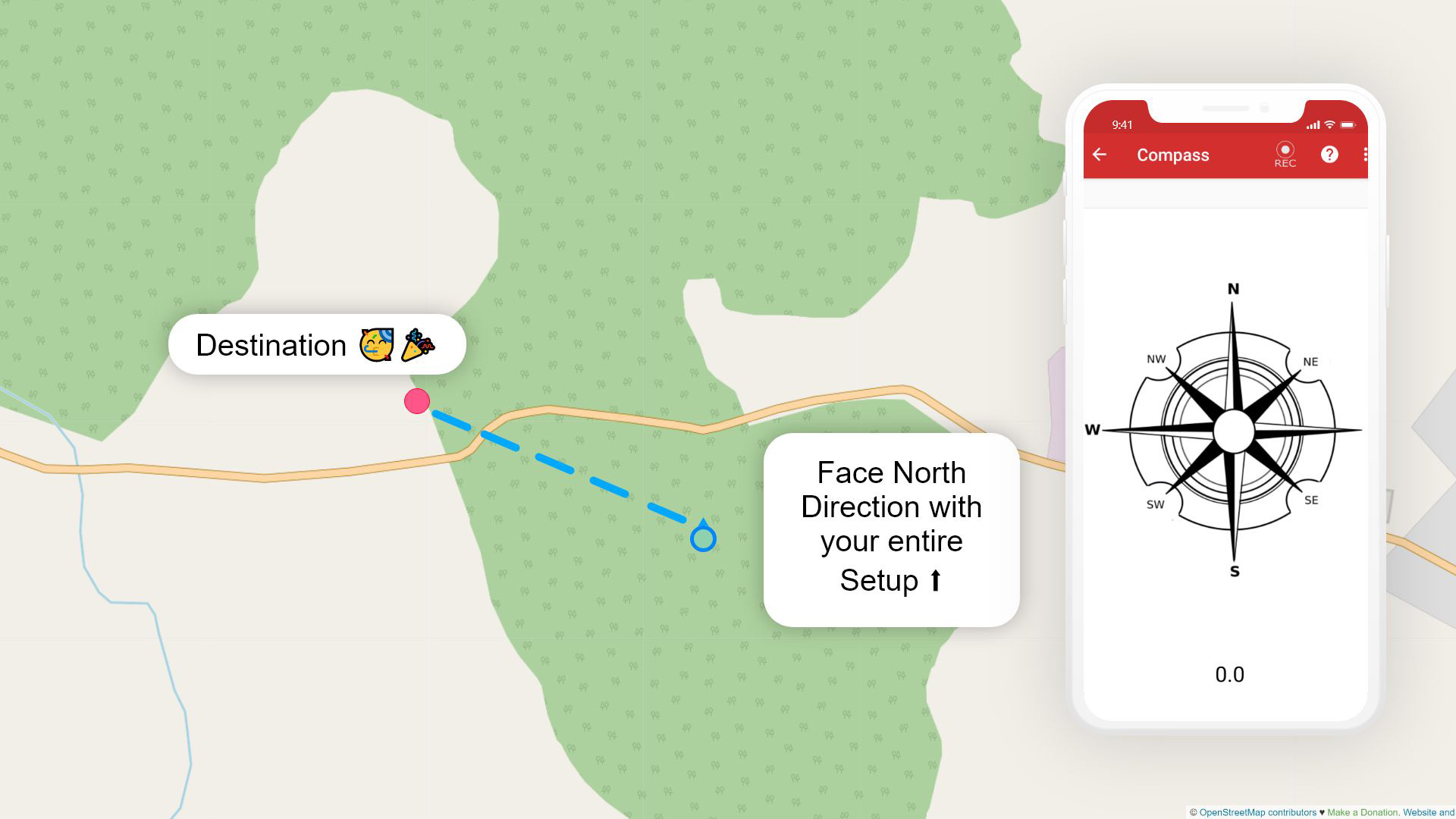
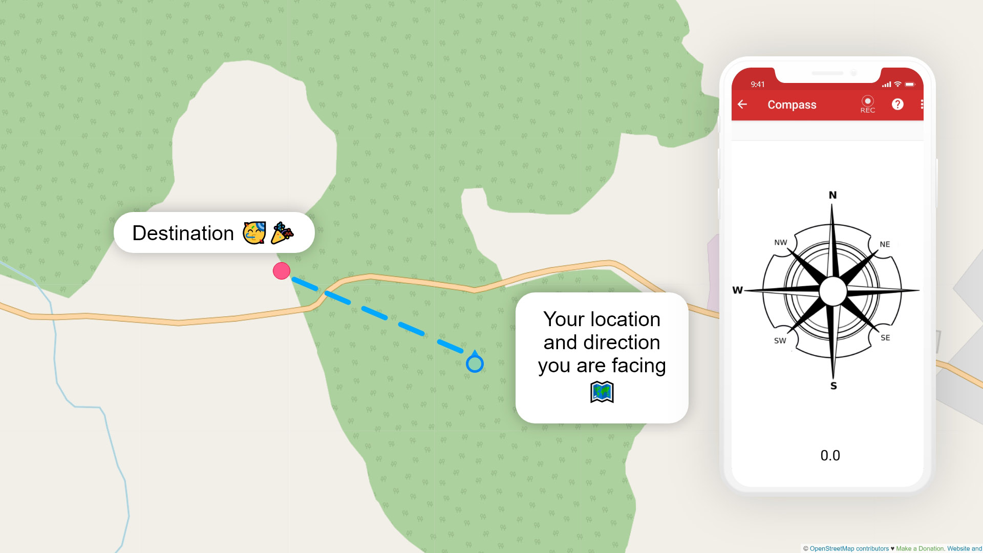
Initial setup : Point your initial position and destination and draw a line using a scale. Then, open the map and put the phone vertically on it.

(now it should look something like this, with you facing no particular way)
Orientation : Now, orient your entire setup to face north with the help of the compass. The N in the compass should face about the top of your screen and in the bottom, the angle should be near to 0 degree.
Knowing the proceeding angle : After making sure you are oriented correctly, tilt your phone to the line that you made.
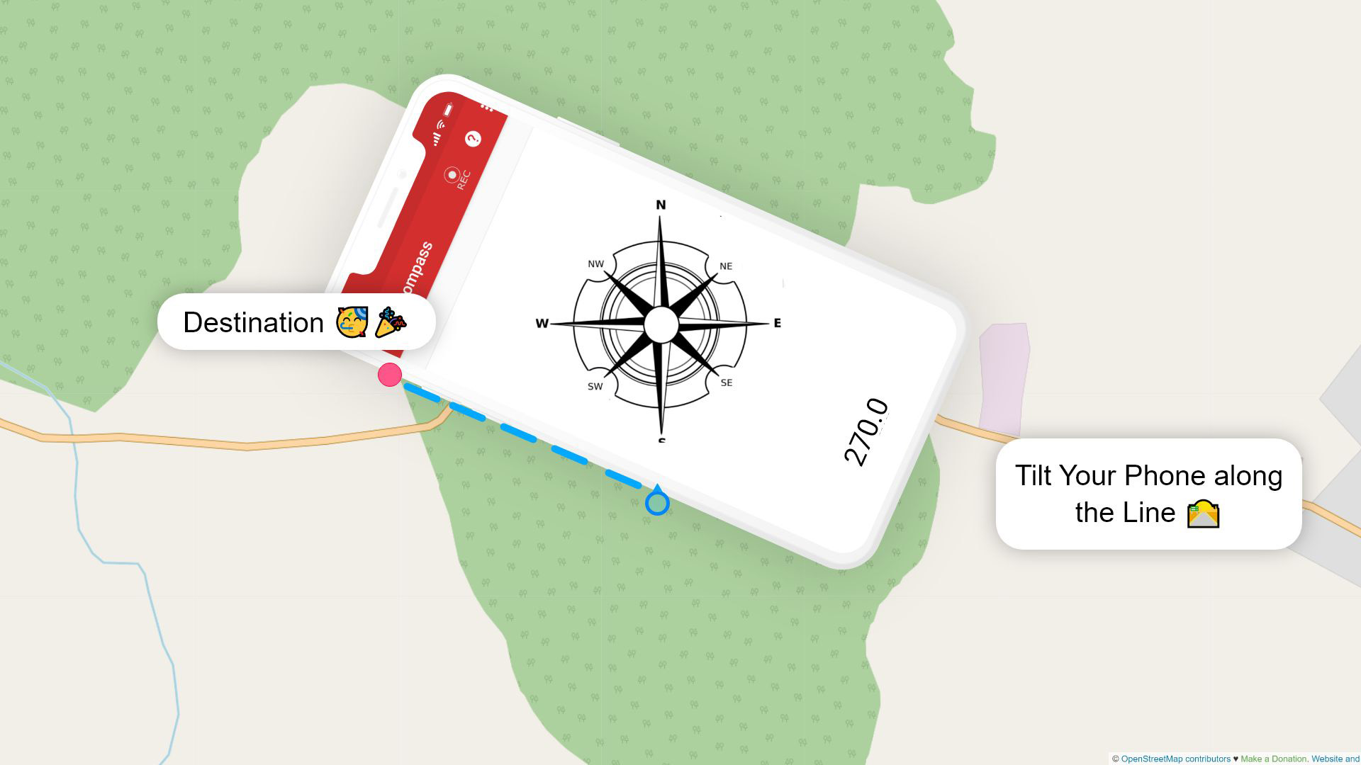
In this example case, the angle formed is 270 degrees. Note it down somewhere, so that you don’t have to open the map and check it repeatedly.
Gathering more information : With a map and a compass, its still easy to lose efficiency when navigating from one place to another. There are a few ways to improve this.
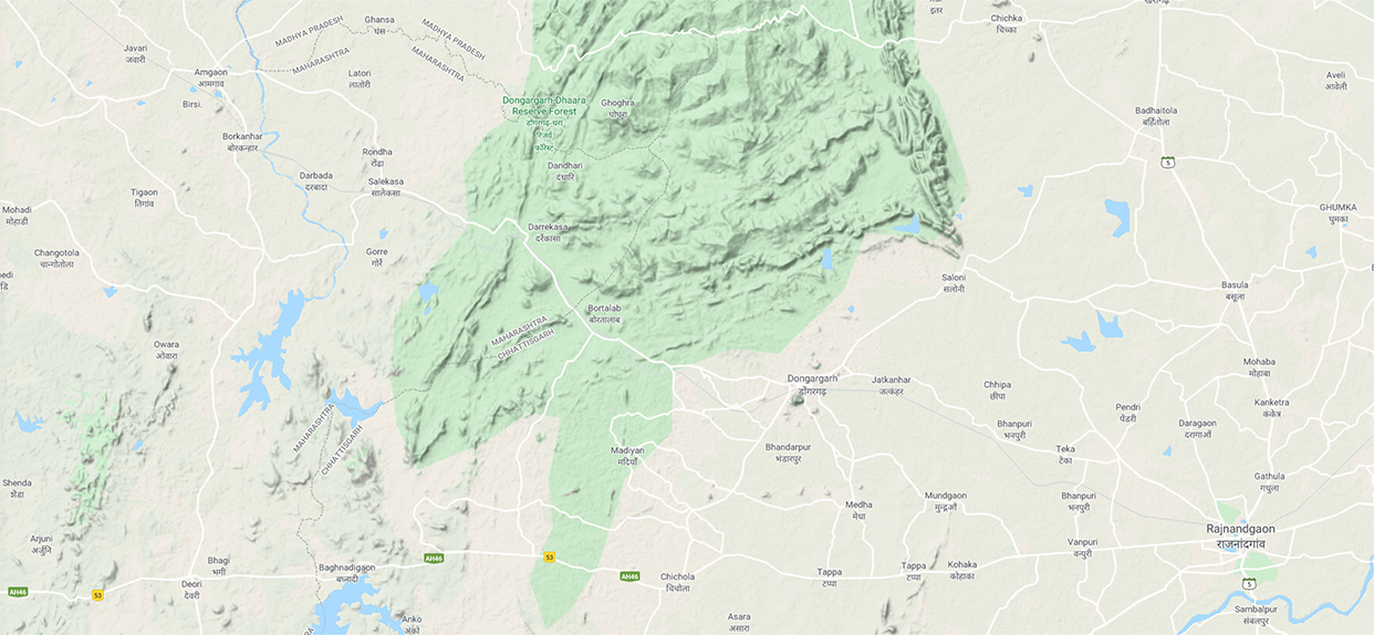
Having a detailed map : In this case, we use a simple plain map (it’s defenitly not a pre-made map 😉 ), but in physical format, there are many detailed maps available.
(Source of maps is : Open Street Map)
Landmarks : These are a very handy way of knowing whether or not you are on track. Try to find landmarks in your route on the map well before you reach there and try to look for them while traveling. For example a distinguishable hill or ridge or building or place etc .


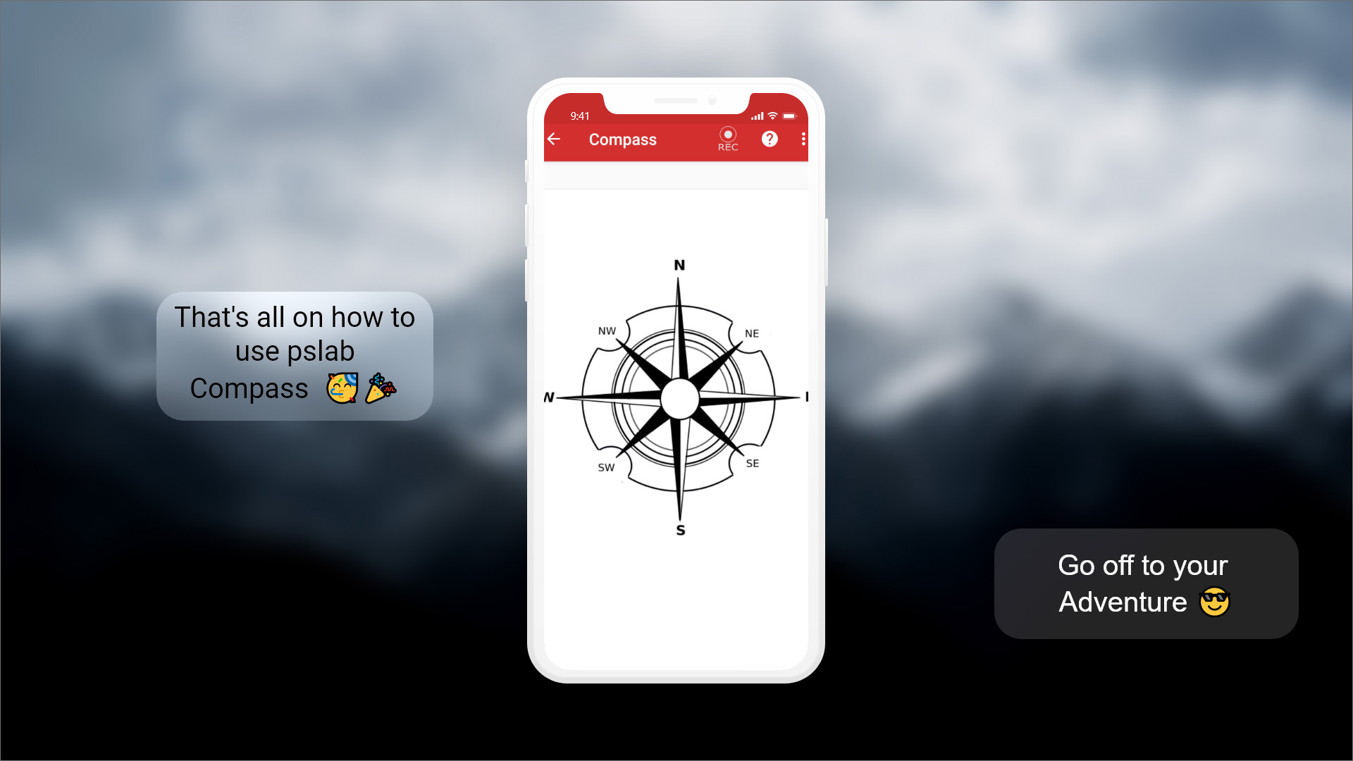
Result
Off you go for an adventure 🌳🌲